You are not logged in

Distance
8.00 km
Elevation Gain
684 m
Type
Hike
Difficulty
Hard
Estimated Time
4h 30m
Route Type
Point to Point
Summit
Fauscoum Mountain (792 m)
Parking
Yes
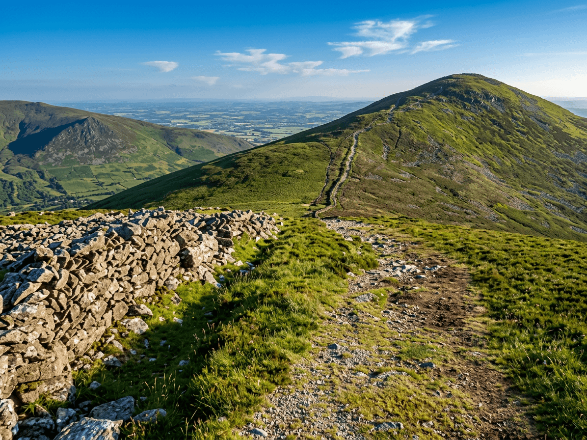
This challenging point-to-point route crosses the Comeragh plateau between two of Waterford's most spectacular natural features: Coumshingaun, one of the finest glacial corrie lakes in Europe, and the Mahon Falls, where the Mahon River tumbles dramatically off the plateau edge.
Expect steep, rocky climbs around the corrie rim, open boggy plateau with little in the way of formal paths, and huge views over the Copper Coast and inland Waterford. Good navigation skills are essential in poor visibility, and you'll need to arrange transport between the two trailheads.


Comments:
Log in to leave a comment