You are not logged in

Distance
18.35 km
Elevation Gain
635 m
Type
Hike
Difficulty
Hard
Estimated Time
5h 45m
Route Type
Point to Point
Parking
No
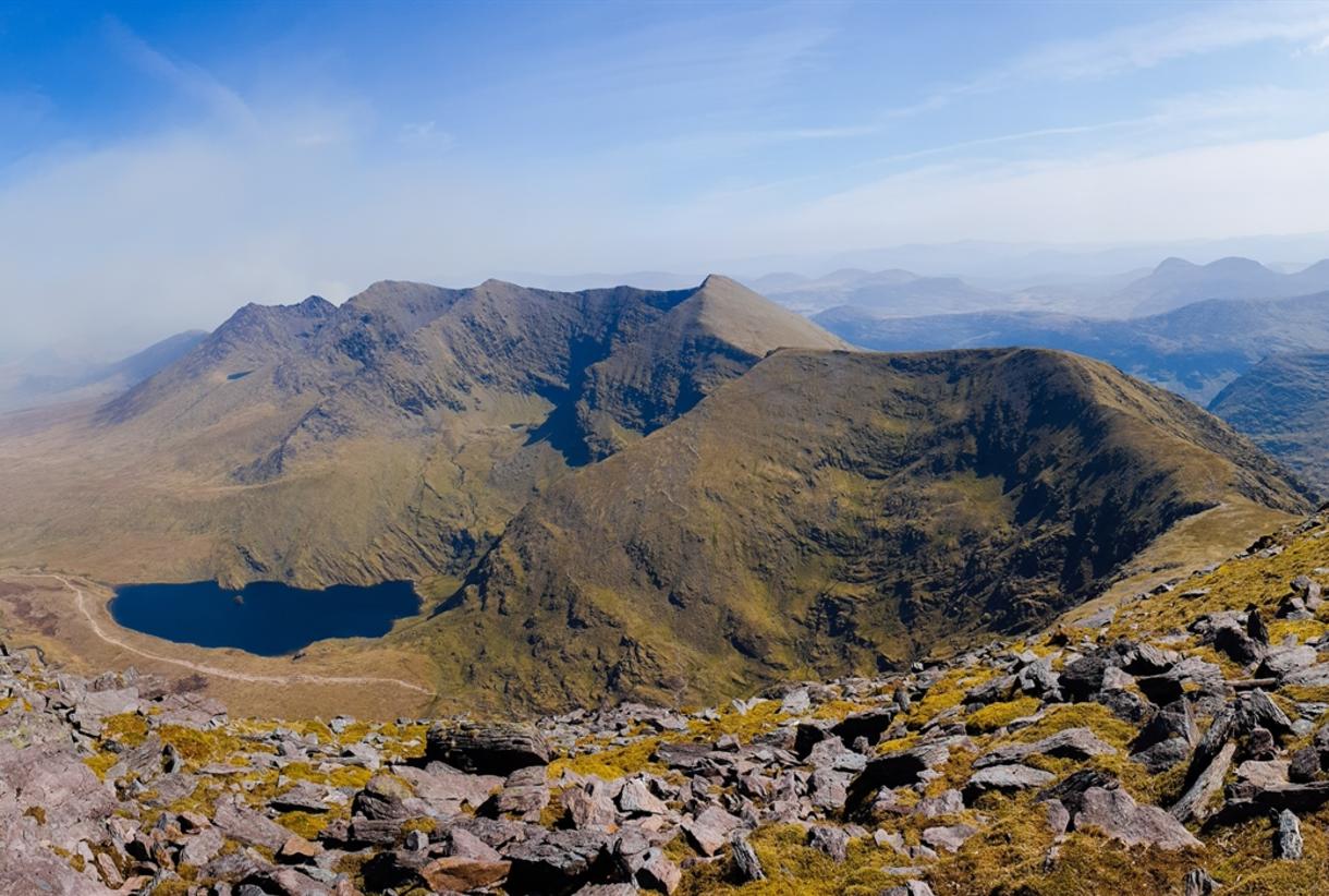
Mount Brandon (952m) is Ireland's highest mountain outside the MacGillycuddy's Reeks, named for St. Brendan the Navigator, who is said to have prayed here before his Atlantic voyage. The Cosán na Naomh — the Saints' Road — is the traditional pilgrim approach from the west, climbing from Ventry's dunes past beehive huts and crosses to the summit ridge.
The eastern face drops in spectacular cliffs above a staircase of paternoster lakes, and the summit view spans the whole Dingle Peninsula, the Blaskets and the Reeks. Mist forms quickly on Brandon — save it for a clear day and carry full mountain kit.
More Hikes in Kerry

The Kerry Cliffs
A short cliff-top walk at the Kerry Cliffs of Portmagee, with huge views to Skellig Michael and Puffin Island.

Comments:
Log in to leave a comment